The Grange, Nutholt Lane, Ely CB7 4EE (BLR1003), East Cambridgeshire
- Could take (council estimate)
- 10 homes
- Site area
- 0.61 ha
- Density
- ≈16 per ha
- Deliverable
- Yes
- Ownership
- Public authority
That is about 16 homes per hectare, typical of houses. It is the council's estimate of what the site could take, not a planning permission.
Register entry
| Council | East Cambridgeshire |
|---|---|
| Council reference | BLR1003 |
| Hazardous substances consent | Not stated |
| First listed | 2017-12-12 |
| Location | 52.40086, 0.26369 |
| Council's own record | View on the council's website |
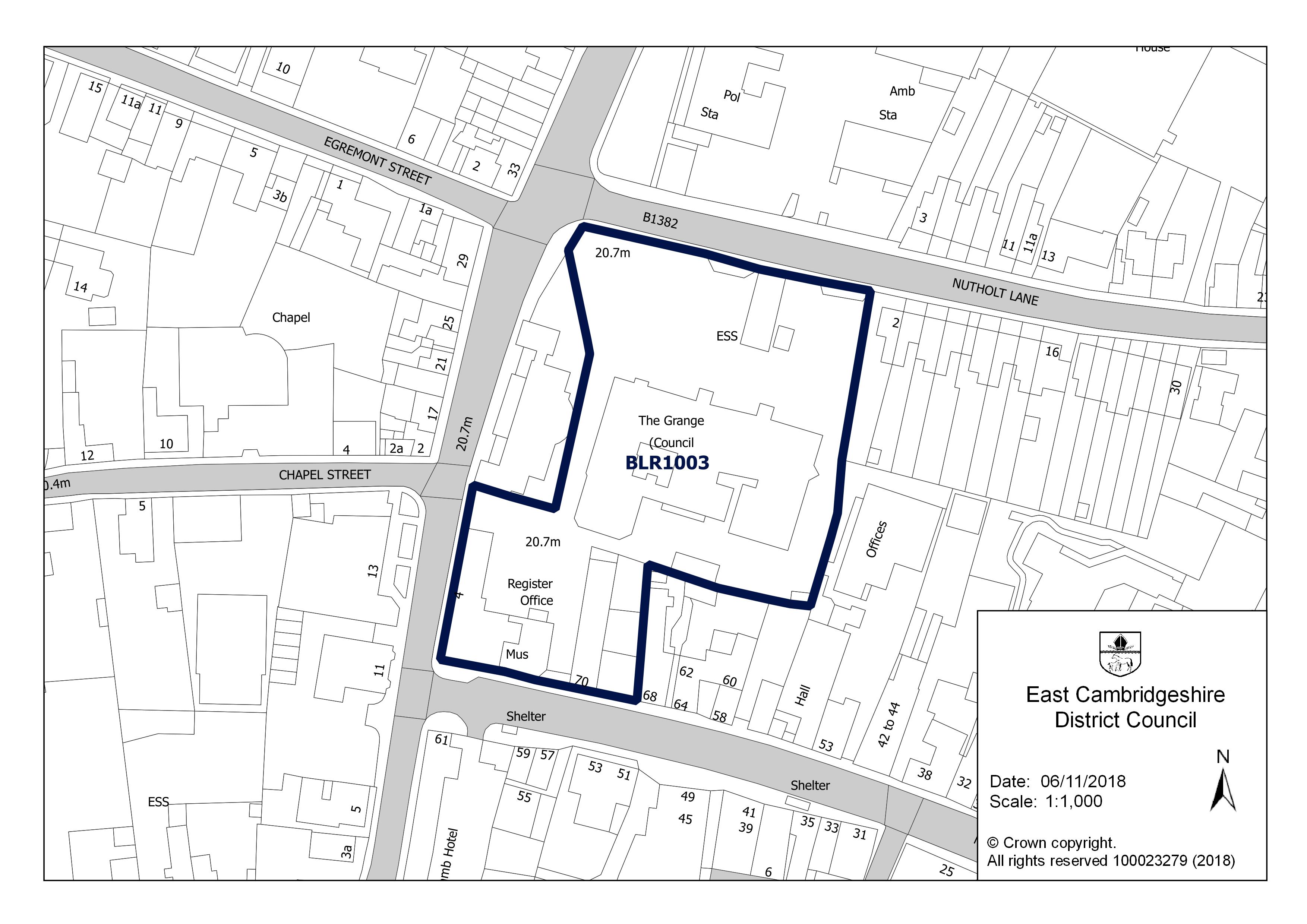
This entry is reproduced from East Cambridgeshire's brownfield land register. Being on the register means the council considers the land suitable for housing. It does not mean the site is for sale or that permission would be granted.